Abu al-Fida (1273–1331), als Abulfeda gedruckt, verband die Regierung von Hama mit arabischer Geschichts- und Geografieschreibung.
Herrschaft in Hama
Abu al-Fida wurde 1273 in Damaskus geboren und starb 1331 in Hama. Der Ayyubidenprinz erhielt 1310 die Statthalterschaft, 1312 einen Königstitel und 1320 weitere sultanische Ehren. Diese Stellungen beruhten auf seinem Verhältnis zum Mamlukensultan al-Nasir Muhammad. [1]
Geschichte und Fortsetzung
Die eigene Chronik reicht nach Özaydın bis 1329. Drucke ergänzen Ereignisse von 1330–1348 aus Ibn al-Wardi. Die Library of Congress beschreibt ihre Kairoer Ausgabe von 1907 ausdrücklich als nicht kritisch. Autor und Fortsetzer müssen getrennt werden. [2] [3]
Tabellen statt Atlas
Die Geografie wurde 1321 vollendet. Add MS 7498 wurde 1342 in Aleppo kopiert und ordnet Orte in 89 Doppelseitentabellen nach 28 geografischen Regionen. Koordinaten, Namensformen, Quellen und Beschreibungen stehen nebeneinander. Frolov und Konovalova untersuchen vier Koordinatengruppen des Schwarzen Meeres. Ihre Rekonstruktion ist keine mittelalterliche Originalkarte. [4] [5]
Leser und Exemplare
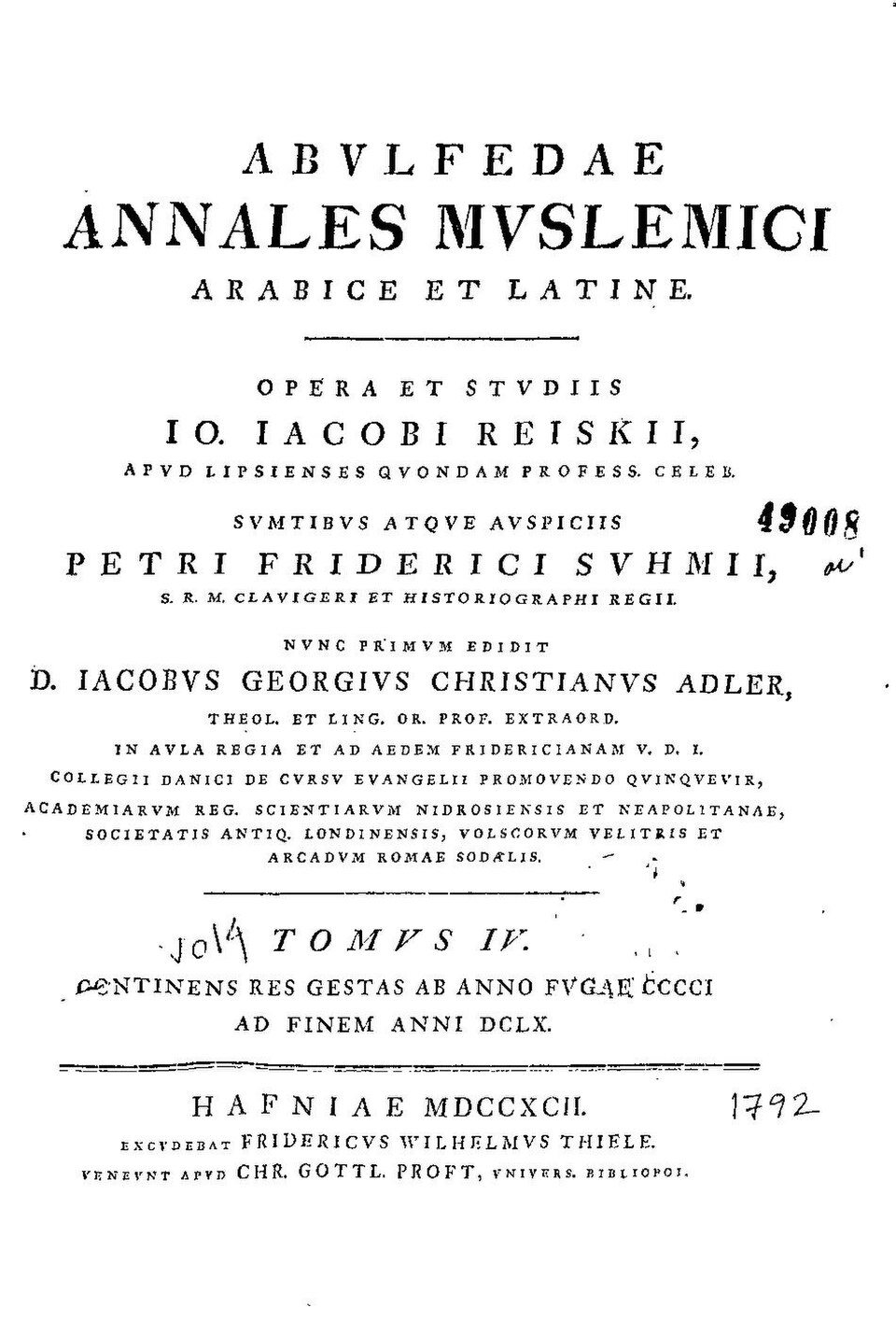
Comacchi verfolgt Postels geografische Handschrift und spätere Randnotizen. Das Bild zeigt dagegen eine historische Druckausgabe von 1792. Ein Damaskener Manuskript von 1340 benennt Schreiber und Ausschmückung. Solche Objekte belegen konkrete Wege des Kopierens und Lesens. [6] [7] [8]
Quellen und weiterführende Literatur
- Abdülkerim Özaydın, “Ebü’l-Fidâ,” TDV İslâm Ansiklopedisi 10 (1994), pp. 320–321: family, 1273–1331 chronology and successive Hama appointments.
- Abdülkerim Özaydın, “el-Muhtasar,” TDV İslâm Ansiklopedisi (2020): structure, sources, endpoint in 1329 and editorial incorporation of Ibn al-Wardi’s 1330–1348 continuation.
- Library of Congress / Qatar National Library, The Concise History of Humanity, Cairo, al-Husayniyah Press, 1907: four-volume Arabic edition, continuation and non-critical status.
- British Library, Add MS 7498, Taqwīm al-buldān: transcribed authorial and scribal colophons; 1321 composition, 1342 Aleppo copy, tables and preface.
- Alexei Frolov and Irina Konovalova, “Reconstruction of the Black Sea Map in the Geographical Work of Abū al-Fidā’,” e-Perimetron 13/1 (2018), pp. 50–62: original coordinate analysis and distinction between descriptive text and modern reconstruction.
- Maria Vittoria Comacchi, “Arabic Geography and Sixteenth-Century Cartography: Guillaume Postel and the History of Abū al-Fidāʾ’s Manuscript,” in Travelling Matters across the Mediterranean (2024), DOI 10.1484/M.HIMO-EB.5.138215: manuscript circulation and readers’ annotations. University repository record and abstract.
- Abulfedae Annales Muslemici Arabice et Latine, work of Johann Jacob Reiske, edited by Jacob Georg Christian Adler, volume IV (Copenhagen, 1792), title page, scan page 7. Asiatic Society of Mumbai, Granth Sanjeevani / Government of Maharashtra digitization, Internet Archive dli.granth.72640, Wikimedia Commons; public domain.
- Mona al-Moadin, “Manuscript on geography,” National Museum of Damascus, inventory 14689, Museum With No Frontiers: 1340 copy, named scribe and opening-page decorator, tabular geography and earlier sources.