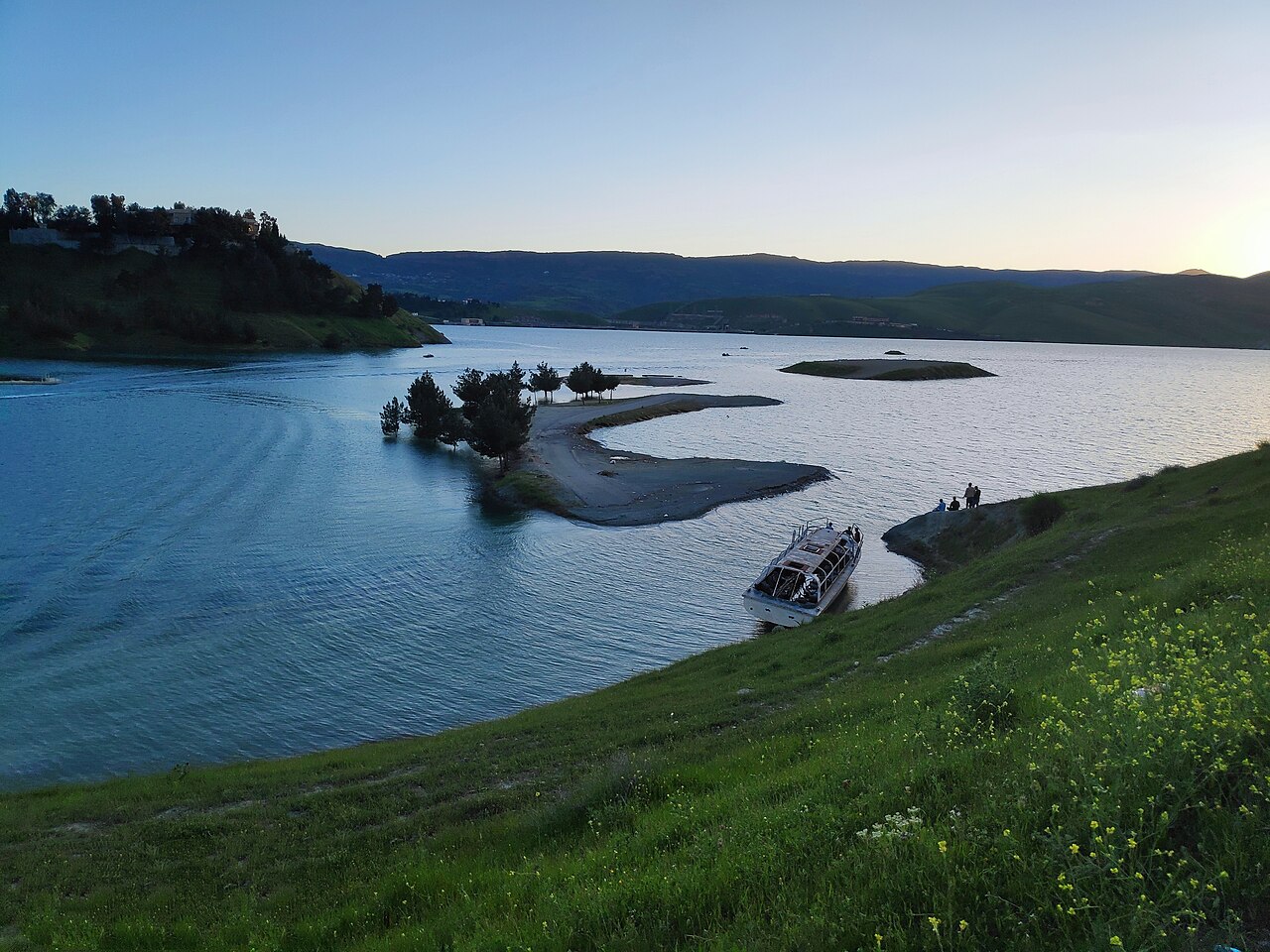
Lake Dukan is the reservoir formed by a dam on the Lesser Zab in Sulaymaniyah Governorate. Its history includes twentieth-century engineering, the flooding of older settlements on the Rania Plain and continuing archaeological work shaped by the lake’s changing water levels.

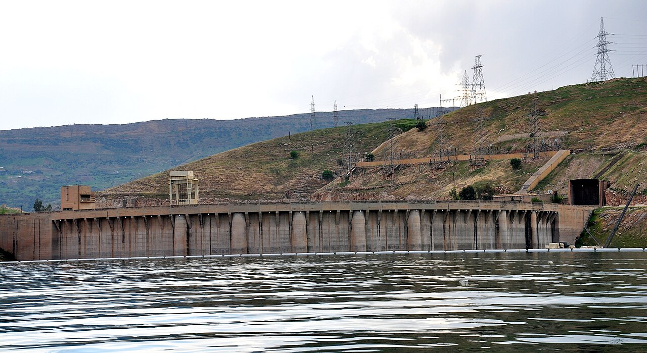
The dam and power station were built in different stages
The 2006 SMEC inspection report prepared for the World Bank places Dukan Dam on the Lesser Zab, northwest of Sulaymaniyah. It describes a concrete arch with gravity abutments in a narrow limestone and dolomite gorge. Construction began in 1954 and ended in 1959. The powerhouse came later: work started in 1975 and the last of five 80 MW units was commissioned in 1979. The report gives an original reservoir design capacity of 6,870 million cubic metres at normal operating level and notes sedimentation since filling. [1] These dates distinguish creation of the reservoir from completion of the main power station.

The Rania Plain and the first salvage excavations
Before the dam’s closure, Iraqi archaeologists surveyed forty ancient sites on the Rania Plain. NINO’s project history records excavation or soundings at ten selected sites in 1956–1960, including Basmusian, Deim, Qorashina, Kamarian and Shemshara. A Danish expedition first excavated Shemshara in 1957. [2] The reservoir changed access to a landscape that contained much older evidence of settlement. The salvage programme documented part of that record before flooding, while later investigations have returned to sites exposed by changing water levels.
Shemshara’s tablets and older buildings
Jesper Eidem’s account of the Pisa project describes palace remains and cuneiform archives uncovered at Shemshara in the 1950s. Letters from the early eighteenth century BCE illuminate the world of governor Kuwari and neighbouring rulers. More recent work investigated an older building with storage jars and a tablet recording bread rations, including an envoy from ancient Erbil. [3] These finds give the lakeside landscape a history of administration, exchange and daily provisioning long before the dam. The ancient sites are separate settlements within the reservoir area, rather than parts of the modern dam itself.
What changing water levels expose and erode
Tim Skuldbøl and Carlo Colantoni’s 2013 field report describes high water restricting work at Bab and prompting investigation at nearby Kur. The team recorded newly exposed structures as well as walls, kilns and deposits lost to erosion since the preceding season. [4] Eidem’s later project account reports that low water in autumn 2025 enabled survey and trial excavations at Baiz Agha, Basmusian and Kundu. [3] The two dated accounts show how water levels change both access and preservation. Archaeological remains can become visible as the water recedes while repeated inundation removes parts of the same record.
Sources and further reading
- SMEC International, Dokan and Derbendikhan Dam Inspections: Final Report, 31 July 2006, pp.1 and 32–33, prepared for the World Bank; dam construction, powerhouse chronology and original storage design.
- Netherlands Institute for the Near East, Rania Plain: Survey; first salvage programme, forty surveyed sites, selected excavations and renewed survey methods.
- Jesper Eidem, University of Pisa, Pisa Archaeological Project on the Rania Plain; Shemshara archives, older palace discoveries and the 2025 low-water field season.
- Tim Skuldbøl and Carlo Colantoni, UCAP Investigations in Autumn 2013, University of Copenhagen; first-hand field report on Bab-w-Kur, fluctuating water and erosion.